WHERE DESIGNS MEET ADVANCEMENT

Survey Consultant

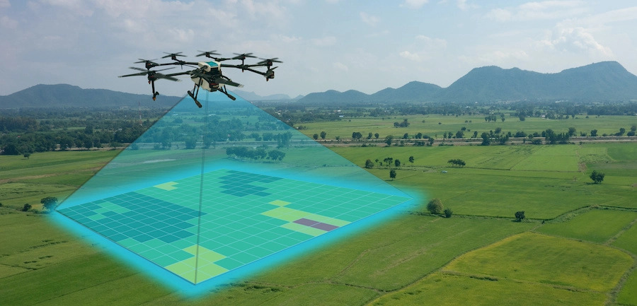
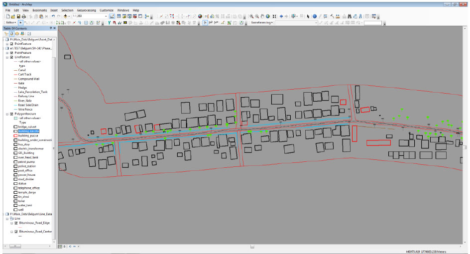
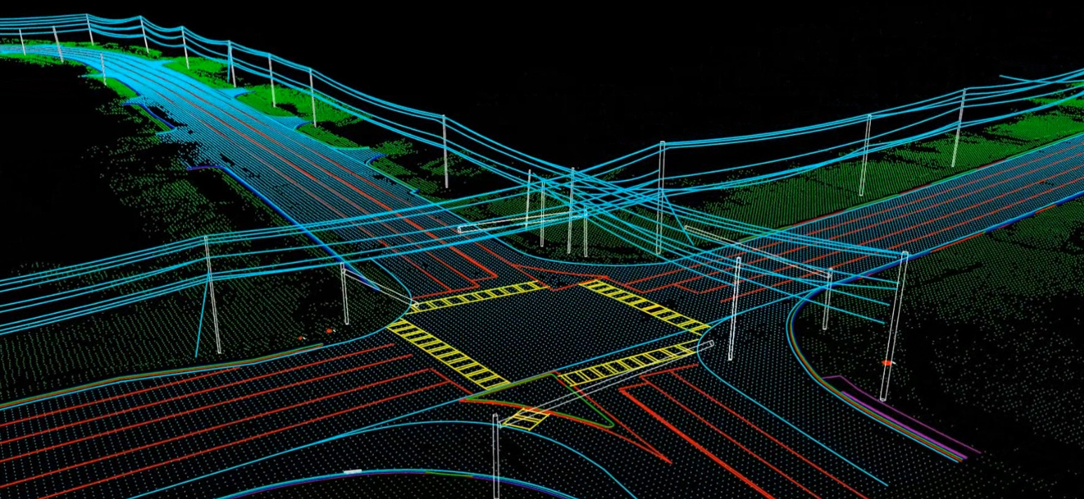
At EAIMS Consultant Pvt. Ltd., we provide precise and reliable Survey Consultancy services that form the foundation of successful project planning and execution. Our expertise includes topographical surveys, land boundary demarcation, contour mapping, and construction layout surveys.

Using advanced surveying instruments and digital mapping technologies, we ensure accuracy, compliance, and data-driven decision-making — supporting residential, commercial, infrastructure, and industrial developments with dependable site intelligence.

Efficiency starts with

Surveying

AIC3s surveyors provide a wide variety of land surveying services for public- and private-sector clients. AIC3s surveyors provide a wide variety of land surveying services for public- and private-sector clients. Our experienced staff of land surveyors utilizes state-of-the-art equipment and practical innovation to reduce survey costs and expedite the completion of projects, while maintaining a superior product for our clients.

We provide effective survey expertise.

the best workshop.

We specialize in construction layouts, topographical surveys, boundaries, subdivision design, title and boundary surveys, pipelines, gas and oil well locations, unit surveys, digitizing, map reproduction and preparation, wetlands delineation, and providing dedicated mapping services.

Whether a project involves surveying hundreds of miles of pipelines, identifying optimum oil well locations, or assisting in the recovery of a city after a natural disaster, our survey team is more than prepared to tackle any challenge. Integrating our newly refined data communications network, high-quality instruments, and professional staff, our land survey services can be an efficient solution to every project. If you need a professional land surveyor, then look no further.

FIELD SURVEY

DRONE SURVEY

We provide clear-cut Aerial Drone Surveying/Mapping services across India. From having served the Government and Private sector in Land Surveying, Aerial Surveying for Land Management & Development, Land Slope monitoring, Stockpile volumetric measurements, Designing smart cities, Mapping greenfield projects, etc.

MOBILE LIDAR SURVEY

Mobile LiDAR is an advanced mapping solution that incorporates the most advanced LiDAR sensors, cameras and position/ navigation/DGPS/GNSS receivers to collect survey-grade 3D point cloud data quickly and accurately.

Sectors we serve

Our Management is committed to complete ownership of the project’s scope of work, Continuous involvement throughout project lifecycle, Ease of access for process improvement and course correction.

Real Estate

Commercial

Educational

Healthcare

Hospitality

Culture and Recreation

Urban & Rural Development

Are you interested in taking the next step? Reach out to learn more about our projects!

Consult our team

We aim at providing expert solutions for your ground work & Surveying. We aim for long term proficiency in Geotechnical services & Survey.

Main Menu

Call Now